Have You Ever Wondered?
Is there a line at the supermarket today?
Is the park going to be busy?
Will I have to drive around to look for parking?
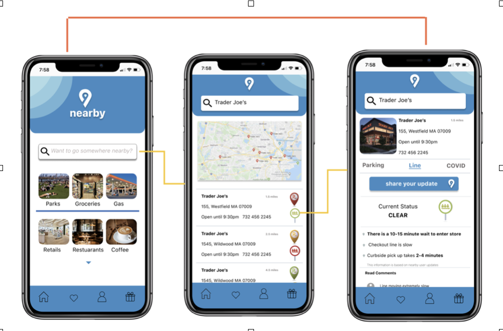
By connecting the community through sharing current updates, our users will be able to know the status of their destination allowing them the opportunity to better plan out their day

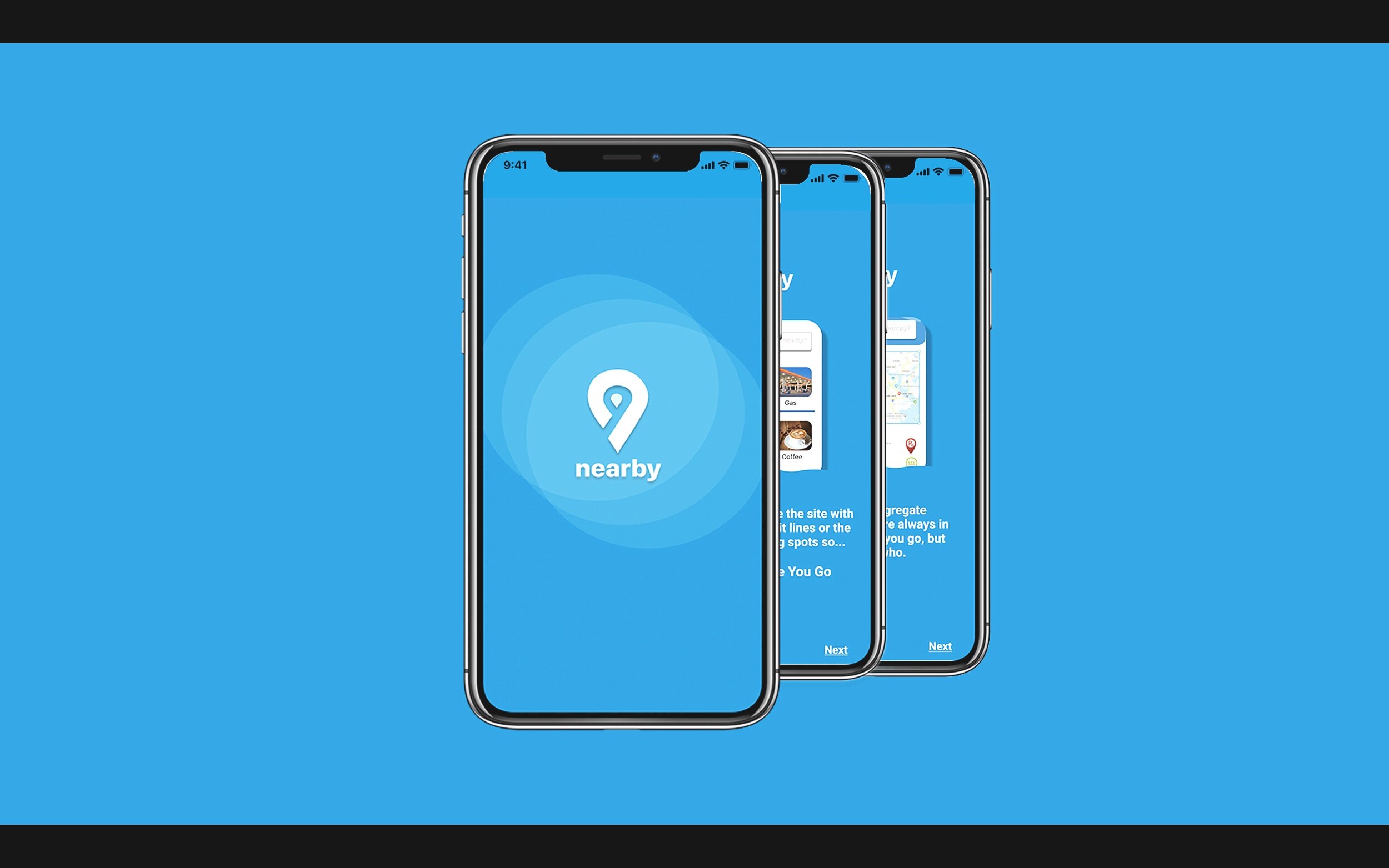
Introducing: nearby
Methods
User Interviews
Affinity Mapping
Persona Development
Journey Mapping
Design Studio
MoSCoW Method
Feature Prioritization Matrix
Prototyping
Usability Testing
Our Challenge
People who need to avoid crowds or don’t want to wait in lines are hesitant to use public spaces because they cannot predict how crowded they will be. As a result people are reluctant to step out of their home.
How might we provide the public with current data on the use of public spaces so they can avoid crowds or long waits in line?
Process

Discover
We started with gathering our data from grocery shoppers and people who have gone out during COVID times to see how they factor foot traffic before going.

Define
We created a persona and user journey map to visualize how our target audience accomplishes the task of figuring out the density of a location.
Design
We began with a design studio where we ideated on how to the features would be incorporated.
Offering everyone a better way to save time by providing the most immediate data for our users to be in the know before they go.
Next Steps
New iterations of usability testing to continually improve the app
Explore opportunities to further collaborate with Nextdoor.
Integration of Comments from Nextdoor Users in our comments feed
Continue to find new ways to provide the most accurate data